Top Ten Countries with the Largest Desert Areas in the World. Drylands cover a significant portion of our planet—nearly one-third of Earth’s land surface. While rainforests and mountain ranges often capture the world’s attention, it’s the deserts—those sweeping landscapes of sand, rock, and sparse vegetation—that quietly shape much of the globe.
Countries with the Largest Hyper-Arid Desert Areas
From the legendary Sahara to the icy deserts of Central Asia, these areas are far from empty. They sustain distinctive ecosystems, are home to Indigenous communities, and are now becoming hubs for large-scale renewable energy initiatives.
According to the World Atlas of Desertification (WAD), deserts, defined as hyper-arid zones with minimal rainfall, make up roughly 6.6% of Earth’s land area, while over 40% is classified as broader drylands. In this story, we focus on the countries that host the largest expanses of true desert, based on ecological classification and satellite mapping.
This list draws on desert area estimates from the World Atlas of Desertification, published by the European Commission’s Joint Research Centre in collaboration with UNEP, which provides global definitions of desert types and aridity zones.
Key geographic boundaries were supplemented by data from UNEP-GRID and NASA Earth Observations, which help delineate hyper-arid regions and large desert landscapes. To ensure accuracy at the national level, we also consulted national geospatial reports and climate zone mappings, identifying the countries with the largest desert areas within their borders or shared transboundary zones. We focus on hyper-arid desert regions, not broader drylands, and attribute desert portions by country based on known coverage of major deserts like the Sahara, Arabian, Gobi, and others.
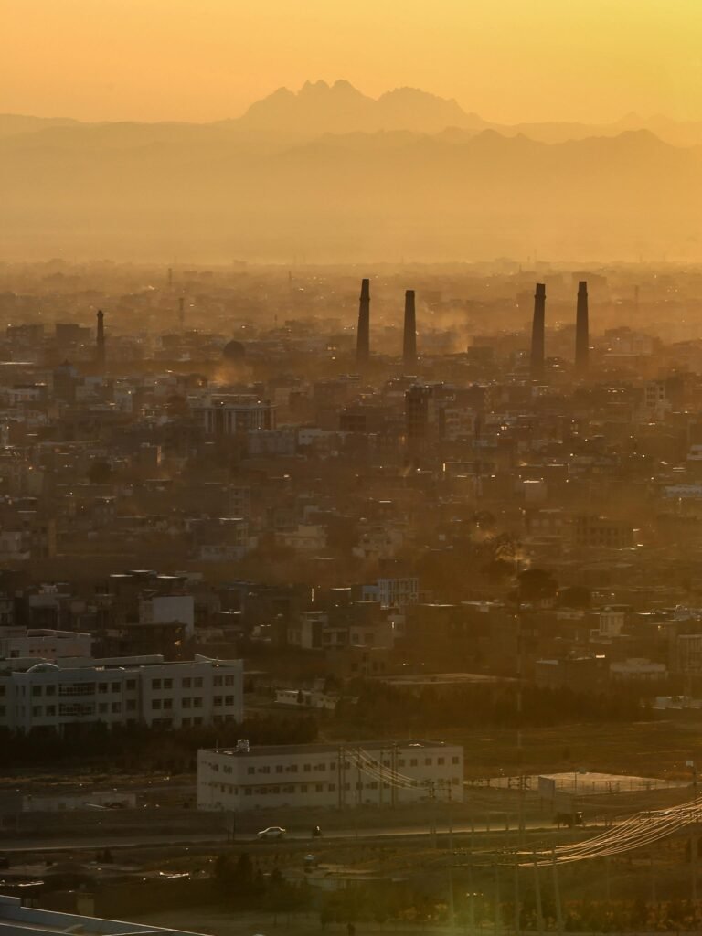
1- Iran: 300,000 sqkm

Roughly one-third of Iran is desert, including the Dasht-e Kavir (Great Salt Desert) and Dasht-e Lut, known for some of the hottest recorded land temperatures on Earth. Together, these deserts cover over 300,000 sqkm. The landscapes are a mix of salt flats, dunes, and barren rock, shaped by intense wind erosion.
2- United States of America (USA): 500,000 sqkm

While not often associated with vast deserts, the US is home to several large arid regions, including the Mojave, Sonoran, Chihuahuan, and Great Basin deserts, together spanning over 500,000 sqkm. These North American deserts are highly diverse, with ecosystems ranging from Joshua tree forests and saguaro cactus fields to alkali flats and high plateaus. Southwestern states like Arizona, Nevada, California, New Mexico, and Utah make up the bulk of US desert land.
3- Mongolia: 500,000 sqkm

Mongolia’s southern third is consumed by the Gobi Desert, a sprawling cold desert that differs from classic sandy expanses. Here, barren steppes, rocky outcrops, and dry basins dominate a landscape spanning over 500,000 sqkm. Despite the harshness, the Gobi is ecologically significant, hosting species like the Bactrian camel and snow leopard.
4- Niger: 700,000 sqkm

Located deep within the Sahara, Niger’s desert territory stretches across over 700,000 sqkm, about two-thirds of the country’s land area. The Ténéré Desert in eastern Niger is one of the most visually iconic regions of the Sahara, dotted with sand seas, wind-shaped rock formations, and sparse vegetation.
5- China: 700,000 sqkm

6- Sudan: 800,000 sqkm

Sudan shares a vast portion of the central Sahara, with over 800,000 sqkm of desert within its borders. The Bayuda and Nubian deserts in the north are marked by volcanic fields, gravel expanses, and ancient trade routes. Despite the aridity, seasonal wadis and the proximity to the Nile have historically allowed settlements and agriculture to survive along the desert’s fringes. Ongoing climate pressures and resource extraction, however, threaten the delicate ecological balance.
7- Australia: 1 million sqkm

Australia’s desert regions, such as the Great Victoria, Simpson, and Gibson Deserts, collectively cover about 1.0 million sqkm, or roughly 18% of the country. These vast landscapes lie within what is commonly known as the Outback, with the Simpson Desert forming part of the Red Centre. Unlike the classic dune-filled Saharan deserts, these are sparse shrublands and red earth plains. Though dry, they’re biologically active, home to marsupials, reptiles, and wildflowers that bloom after rare rains.
8- Libya: 1.2 million sqkm

Nearly all of Libya is desert, approximately 90% of its landmass is part of the Sahara. The Libyan Desert, a subset of the Sahara, is one of the driest places on Earth, with some regions going decades without rain. The country’s desert area totals around 1.2 million sqkm. Despite the harshness, ancient cave paintings and rock art in the Acacus Mountains reveal a history of life and movement through these arid lands.
9- Saudi Arabia: 1.3 million sqkm

The Arabian Desert dominates Saudi Arabia’s landscape, covering roughly 95% of the country. This includes the Rub’ al Khali or “Empty Quarter”, the largest uninterrupted sand desert in the world. With more than 1.3 million sqkm of desert, Saudi Arabia’s arid zones are characterised by vast dune fields, gravel plains, and stark escarpments. These regions play a key role in shaping the country’s Bedouin culture and are now sites of major solar and wind energy investments.
10- Algeria: 1.5 million sqkm

Algeria is home to the largest portion of the Sahara Desert, covering over 80% of the country. This makes Algeria the country with the largest desert area in the world, with more than 1.5 million sq km of arid land. The terrain ranges from sand dunes in the Grand Erg Oriental to rocky plateaus and seasonal salt flats. Despite the extreme climate, desert towns like Tamanrasset and the oases of the M’zab Valley have supported human settlement for centuries.